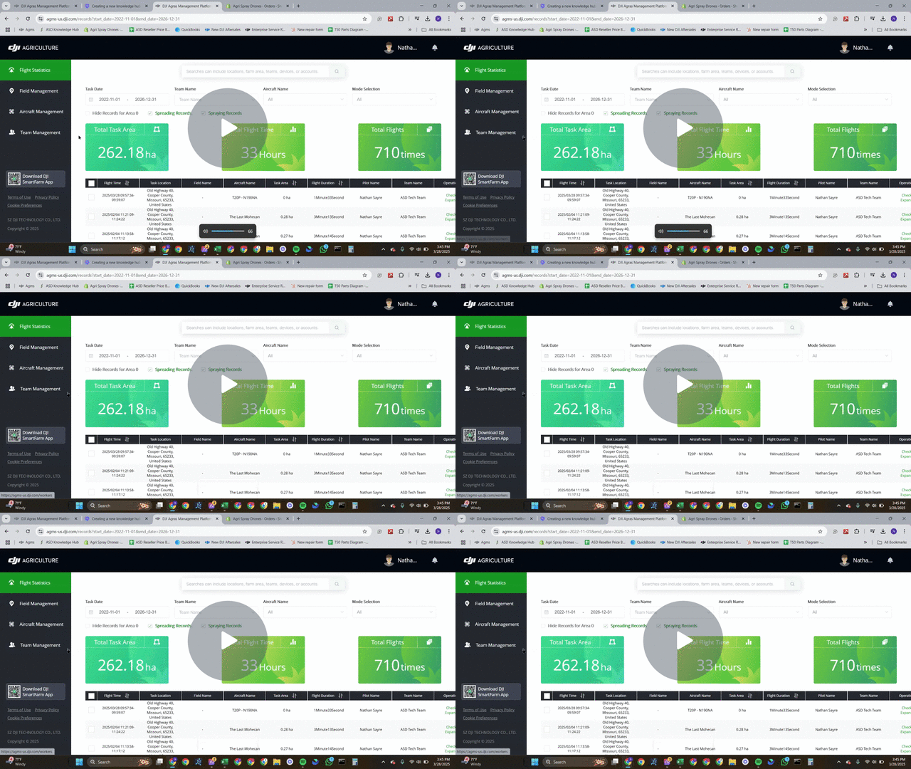
As Applied On AGMS Platform
How to make as applied mapping on the AGMS plate form. Link provided below.
Overview
As Applied On AGMS Platform - Watch Video

This pull request introduces the functionality to apply map layers on the AGMS platform. Key features include:
-
Ability to view flight routes with customizable map layers.
-
Users can make an as-applied map and show flight statistics for a field.
-
Downloadable images of flight data for offline analysis.
1. Accessing the AGMS Platform 0:00
-
Open the AGMS platform.
-
Log in using your username and password (the same as used for the drone).
-
The link to the platform will be provided in the Knowledge Hub document.
2. Navigating to Flight Statistics 0:24
-
Once logged in, navigate to the flight statistics page.
-
You can sort the flights and change the number of flights displayed per page (recommended: 50 per page).
3. Viewing a Flight Route 0:44
-
Select a flight from the list.
-
Scroll down and click on 'view flight route'.
-
You can toggle map layers to show or hide flight paths.
4. Changing Map Settings 1:07
-
Access the map settings to change the type of map displayed.
-
Satellite view is recommended for most users.
5. Selecting Multiple Flights 1:13
-
Use the select all option at the top to select all flights on the current page.
-
Navigate to the next page to select more flights, but note that you can only view 100 flights at a time.
6. Viewing Older Flights 1:48
-
Scroll through your maps to find older flights.
-
Be aware that older flights may not display correctly due to updates or the type of drone used.
7. Downloading Flight Images 2:25
-
-
If needed, you can generate and download an image of the flight data.
-
Click the download option to save the image, which will include flight statistics.
-
Stay Informed: Subscribe to the Agri Spray Drones Newsletter
How to Subscribe
Subscribing is easy and takes less than a minute:
-
Visit Our Website
Go to www.agrispraydrones.com -
Scroll to the Bottom of the Homepage
Look for the “Subscribe to Our Newsletter” section. -
Enter Your Email Address
Type in the email address where you'd like to receive updates. -
Click “Subscribe”
Once you submit, you’ll be added to our mailing list and will start receiving valuable updates straight to your inbox.
Don’t Miss Out
Join thousands of ag professionals who trust Agri Spray Drones for the latest in drone spraying and precision ag.
Subscribe today — and let us help you take your operation to the next level.